
Look Up Alexandria Neighbors
Alexandria has no official one-stop list of everyone on a block. Instead, city maps establish street and boundary context, parish sources identify parcels and recorded owners, and civic or historical collections add dated community clues. The table keeps those roles apart. Begin with the smallest record set that can answer the question, then confirm any name through its custodian.
| Alexandria source | Block fact it can support | Access and limit |
|---|---|---|
| City Engineering base map | Street index, neighborhood labels, public places, city-limit line | Public PDF; no parcel owners or occupants |
| RAPC GIS | Parcel and planning context when the live map is available | Public landing page; confirm parcel facts with Assessor |
| Rapides Assessor/DataScout | Parcel ID, owner of record, situs, mailing address, subdivision | Free search; owner does not mean occupant |
| Rapides Clerk indexes | Deeds, plats, legal descriptions, servitudes, adjoining-owner references | Portal or Clerk; coverage and image access vary |
| Louisiana Voter Portal | Registration matches at one entered address | Required address fields; protected data withheld |
| Directories and newspaper OCR | Dated street entries, events, notices, and past associations | Library or archive; snapshots with OCR limits |
A parcel owner may receive mail elsewhere. A voter record may lag a move, and a directory preserves only its publication year. A deed can name a trust, estate, or business. Use role labels such as “owner of record” or “registered at the entered address,” and avoid turning them into a statement that someone is physically present now.
Define the Alexandria Block First
The word neighbor can mean four different things in local records. It may be the parcel that shares a line, the next mapped street address, a household printed beside another in a period directory, or a person tied to the same planning area. Choose one definition before searching. Otherwise, a nearby mailing address can be mistaken for a shared boundary.
- Parcel
- A mapped unit of land with an assessment identifier. One address may involve more than one parcel.
- Situs address
- The physical property address. It can differ from the tax mailing address.
- Legal description
- The deed language that identifies land by lot, block, subdivision, section, range, or bounds.
- Adjacency
- A shared parcel edge or mapped relation at a stated date, not proof that either owner lives there.
For a boundary or access issue, the legal description, plat, and recorded servitude matter more than a street number. For social or family history, a dated directory and newspaper may be the better pair.
Map Alexandria Neighbors by Parcel
Use a map to build a small ring around one Alexandria address. RAPC says its GIS application uses live in-house data and offers several datasets, but the direct map URL and exact parcel-click or buffer controls were not captured. Follow the current link from the RAPC GIS page, and treat each available control as something to verify live.
- Find the target street and cross streets on the City Engineering base map. Note the city-limit line and neighborhood label.
- Open the live RAPC map if its landing page exposes it. Record the layer name, map date, target parcel, and any adjacent parcel IDs.
- Confirm each parcel through the Rapides Parish Assessor. Copy the owner role, situs, mailing address, subdivision, parcel number, and legal description separately.
- Use the Rapides Clerk's deed or plat index when a shared line, right-of-way, or servitude is the question.
- Date the relationship and stop at the block. The Alexandria street directory handles a whole named street.
The Assessor is the confirmation source for current parcel facts. RAPC itself warns that its planning map is informational, is not an official FEMA flood map, and should not replace Assessor parcel data.
Alexandria's Left-Right Address Quirk
A local planning form offers an unusually clear way to describe nearby property. RAPC's address application asks for the nearest properties on the left and right while the applicant faces the road. It also asks for the nearest intersection, road access, corner-lot road, structure type, driveway placement, an Assessor map, and a hand-drawn site plan.
Those fields form useful block vocabulary when an informal location lacks a clear number. They do not publish a household roster or prove who occupies either side. The form also excludes property inside Alexandria, property served by city utilities, and property in Cheneyville. That split means a postal Alexandria line can lead to a City route rather than RAPC's address-assignment process.
Note: Confirm the current office mailing ZIP because the RAPC form and Assessor website show different Murray Street ZIPs.
Alexandria Neighborhood Contact Routes
Community sources can identify an area, meeting, or public contact, but Alexandria does not publish a verified citywide association or member directory. The Think Alex map labels areas such as Garden District, Downtown, Lower Third, Acadian Village, Samtown/Woodside, Kent Addition, Charles Park, Cherokee Village, and Airport. These are planning or meeting labels, not proof of group membership.
Community Development
City neighborhood and community route
Use current notices to verify contacts for a defined area.
Tennyson Oaks
Public neighborhood website
Describes a subdivision of more than 200 single-family residences; no public member list was found.
Historic Context
Alexandria AHPC maps
District maps give place context, not association membership.
The Tennyson Oaks public site is one verified Alexandria neighborhood route.
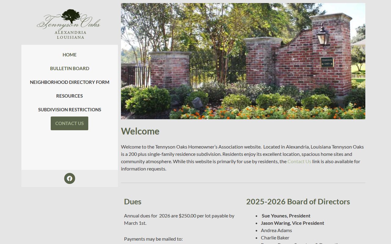
Its public material describes the subdivision, not a roster of individual members or current occupants.
An FY2019 City action plan names neighborhood areas and historical contact representatives. Because that source is dated, use it only as a lead and recheck the person through Community Development. The Historical Association of Central Louisiana can help with regional context, but it is not a block association roster.
Alexandria Block and City Services
The Alexandria Community Development page shows the municipal route for neighborhood meetings, planning, and community programs.
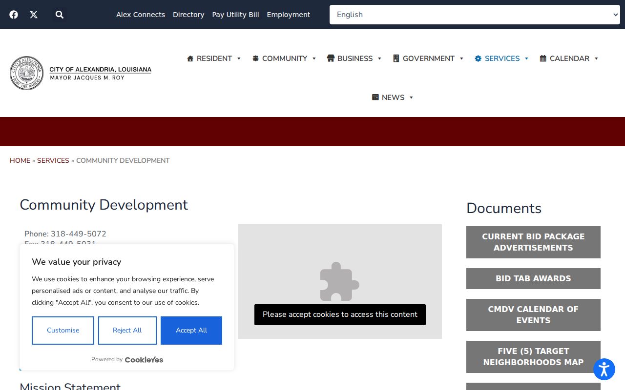
A department route can confirm a public meeting or current contact. It cannot establish that an attendee, caller, or named representative lives on the block.
Compare Alexandria Neighbor Sources
Official rolls and commercial neighbor tools work from different evidence. An official record has a named custodian, a defined field, and a date. A commercial tool may combine old files without showing when a name or address changed. Use the category only as a lead, then return to Alexandria or Rapides Parish records for confirmation.
| Point | Official Alexandria or parish source | Commercial category |
|---|---|---|
| Origin | Named map, roll, index, form, or custodian | Combined files may be unclear |
| Role | Labels owner, voter, party, or applicant | May merge roles into one profile |
| Date | Search, map, filing, or publication date can be kept | Refresh date may not equal record date |
| Correction | Custodian or source-specific process | Provider-specific correction path |
A good block note states only what the source says. “Owner of record on the search date” is precise. “Lives next door” is not supported unless a current, lawful source expressly establishes residence.
Alexandria Neighbors in Voter Records
Louisiana's voter address form takes a five-digit ZIP, address, city, and an optional apartment or lot. It can return registrations at the one address entered. It does not provide a public radius or whole-street browse mode. A block project should not expand that focused interface into a dossier about each nearby household.
State law generally permits inspection of voter records during office hours, but it protects key fields. Driver license number, Social Security number, day and month of birth, mother's maiden name, email, text-service data, and assistance entitlement are not public publication fields. Applications from younger preregistrants and fully protected voters also receive safeguards. A registration is evidence at a point in time, not proof of current presence or parcel ownership.
Trace Alexandria's Earlier Block
For an earlier block, match a period Sanborn sheet to a city directory year, then inspect sequential street entries and Rapides Parish Library newspaper OCR. Alexandria map editions from the late nineteenth and twentieth centuries can show street names, footprints, construction, and use. They do not name residents. A directory entry may name a household or business, while a deed or plat anchors the legal parcel.
Keep each date intact. A neighbor in a directory year may be an adjoining entry, not a shared parcel edge. Search surnames, street variants, and cross streets separately because newspaper OCR can misread initials and suffixes. Current City notices can add dated infrastructure context, and Council videos can explain a public issue, but neither attendance nor a street mention proves residency.
The Rapides Parish Recorder page shows the official route for property instruments behind a block history.
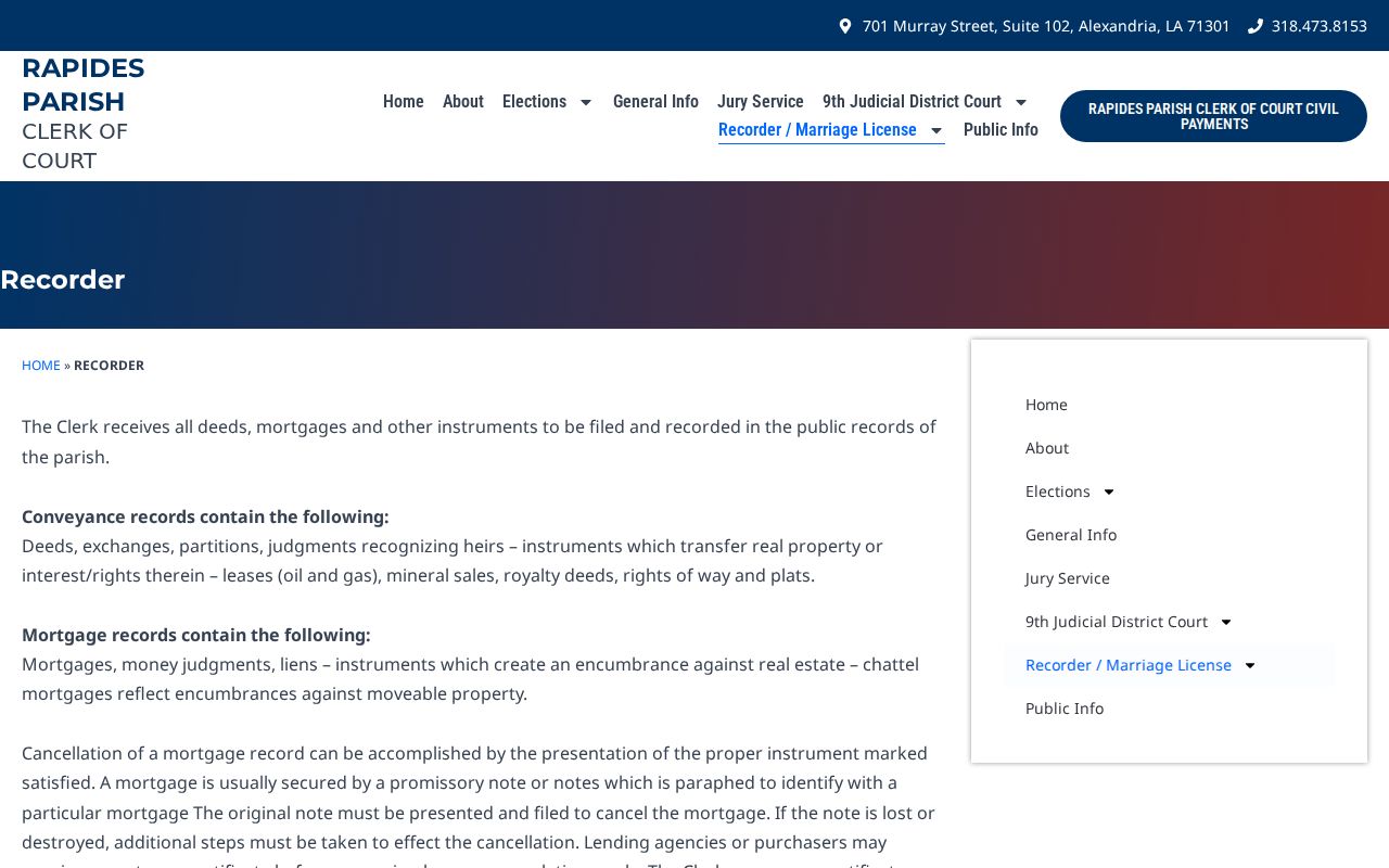
Recorded deeds, plats, and servitudes can establish dated land relations, while later instruments may change them.
The City Council video archive was captured as one dated civic trail.
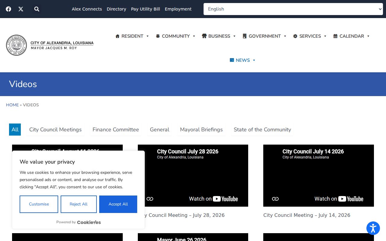
Use a meeting date to track a project or street issue, not to identify who lived nearby.
Protect Alexandria Neighbor Privacy
Public sources leave real gaps. Parcel records generally identify an owner, not each person in a home. Utility and delivery account data are not a public block directory. Louisiana's Address Confidentiality Program provides a substitute address and mail-forwarding process for eligible people, while voter rules withhold protected details. A missing person or address can therefore reflect safety law, source scope, or timing.
Collect only what the personal question needs. Do not publish a broad block roster, private contact fields, or unsupported owner-occupant links. If a map, index, and legal description disagree, ask the Assessor or Clerk to resolve the record rather than choosing the most convenient result.
Lawful use. Research nearby Alexandria residents only for a narrow, lawful personal or civic reason. Never use block records to stalk, harass, threaten, or harm anyone.